The final frontier
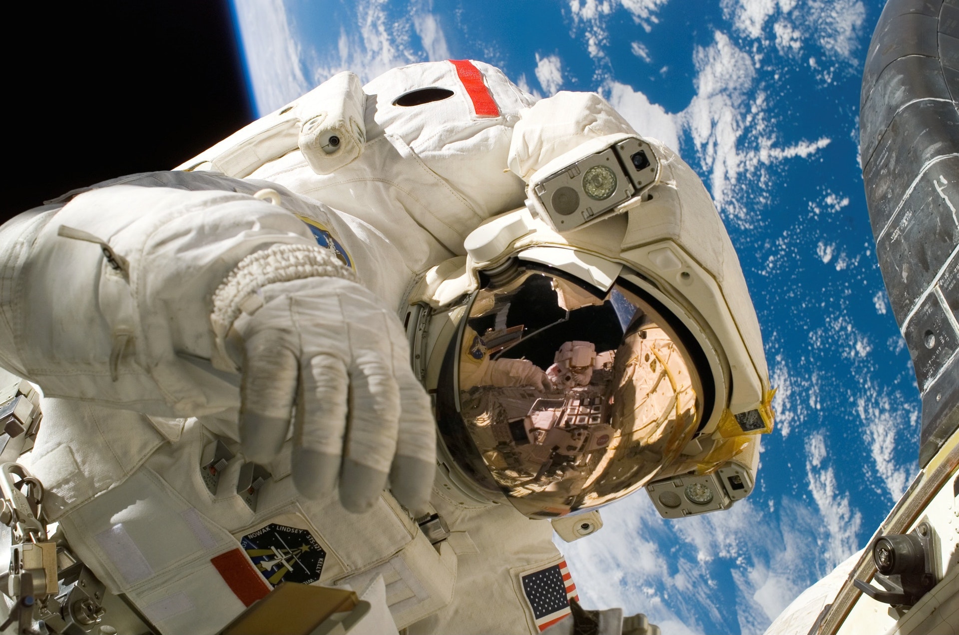
Would be astronauts and children of all ages be prepared to entertain yourself for hours in googles “street view” of the international space station.
![]()
Wander around the modules, click on informative links about extra vehicular mobility movements, galley tables and hatches. Inspect the mutiny of tubes and seatbelt like straps and imagine how they could all possibly be necessary. All without actually having to be in space!
Smile for the camera
While this isn’t the first time the space station has been captured in this manner, (The European Space agency published its own interactive tour in 2015 and NASA had some images re-purposed for virtual reality headsets) Google’s attempt is by far the most accessible and user friendly so far.
Users can really explore the space station in their own time without restrictions and without pushing any buttons or tugging on any important straps.
The Google maps team in charge of the project had to be more creative in how they documented this particular street view. While they have accomplished other unique street views in the past, from documenting the great barrier reef, to panoramically photographing the citadel at Machu Pichu, photographing the ISS posed a unique challenge.
In other, earth-bound, locations the team was able to transport highly specialized equipment up mountains and into the sea to get the photographs they needed. At the ISS the proprietary equipment and professionals were not only impossible to transport but ultimately proved to be unnecessary.
Streetview sans streets
Streetview pictures are basically 360 degree panoramas stitched together to create the perception of three dimensional space. Usually this process requires a specialty camera and a tripod so all the images are taken from the same place. In the ISS in zero gravity they had to come up with a different solution.
A DSLR camera hung in the center of hallways and modules via two crisscrossing bungee cords while an astronaut floated around the camera snapping 24 consecutive pictures of the space.
Back on earth, Google engineers stitched these images together to create the incredibly detailed interactive experience that we get to see today.
Not an easy task
It was hard work for the astronauts who had to fit all of this work in between their normal duties, and it took four months to photograph all fifteen modules of the giant space station.
Google maps may not be the first company to bring the ISS to the public, but the project is certainly adding value to their role as lead documenters of the world.
What fantastic location will we get to explore next from our comfy desk chairs? Everest? The Mariana Trench? The Moon? Or even Mars? It seems no place is too difficult to document for the brilliant minds at google, and I for one am waiting in anticipation for my next street view adventure.
#AdventureOrBust
C. L. Brenton is a staff writer at The American Genius. She loves writing about all things, she’s even won some contests doing it! For everything C. L. check out her website








Pingback: Firefly is back and is working to give Musk a run for his money - The American Genius
Pingback: Google Maps will soon display traffic lights
Pingback: Google added Driving Mode, and they need your help to fill in the blanks