


With the onset of the computer age, we have seen a great deal of false information spreading around the world. From Photoshopped images to presidents broadcasting fake information, there is a lot to be wary of. The internet is rife with data that truly needs to be verified at any given turn. The dangerous part is not only what people can do with that information, but also how they can hide things with it.
Satellite imagery has been on the rise for a few decades. An image that is already grainy and hard to see would be child’s play to alter. Maybe even to create from scratch. Tagging GPS coordinates are a simple alteration inside of Photoshop too. Fakes, upon fakes, upon fakes.
In 2019, the US military warned about the possibility of fake geographical information being perpetuated across the internet. It then actually came true – to the embarrassment of the Chinese government.
Satellite “evidence” was used to report detention camps hidden away in the countries. The “camps” turned out to be re-education facilities for China’s mentally “deviant” populace. However, that’s another rabbit hole to run down. The point here is that the images that were released in 2015 showed absolutely no facility and then pictures in 2018 showed a massive facility.
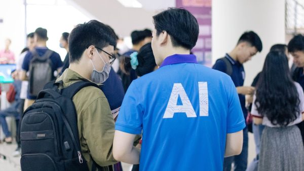
An assistant professor, Bo Zhao, with the University of Washington decided to illustrate this with a study. His opinion was “the first step to tackling these issues is to make people aware there’s a problem in the first place.” He and his colleagues published a paper on “deep fake geography.”
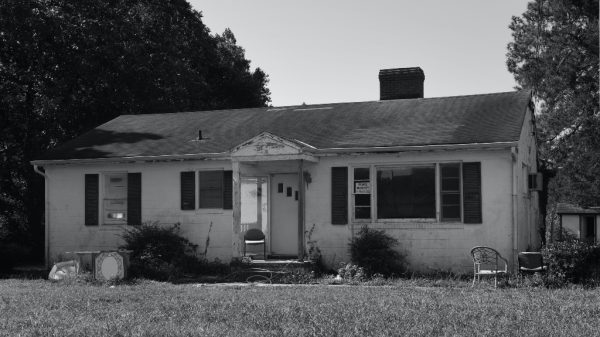
They conducted experiments in generating and detecting imagery for suburban homes, which clearly demonstrated the affect of this technology on our economy. They were able to easily convert the shape and layout of a neighborhood in their images.
From this work, we have a few new terms to be aware of. Threats of “paper towns” and “trap streets” are two of the new resounding terms. These new ideas can lead to a modicum of potential issues. The team actually created a software that has the ability to create these fake images. They did the work themselves, leading one to believe that the basic knowledge is there for anyone with a little know-how.
The moral of the story is, even formerly trustworthy info is all opinion input by another flawed human being, and you don’t ever really know why people are putting that information out there. Always know and check your sources. Point consumers to MLS data during their search to avoid stumbling into falsified imagery.